Written by Sue Osborn (Head of Flight Operations – Mirragin Skyshows)
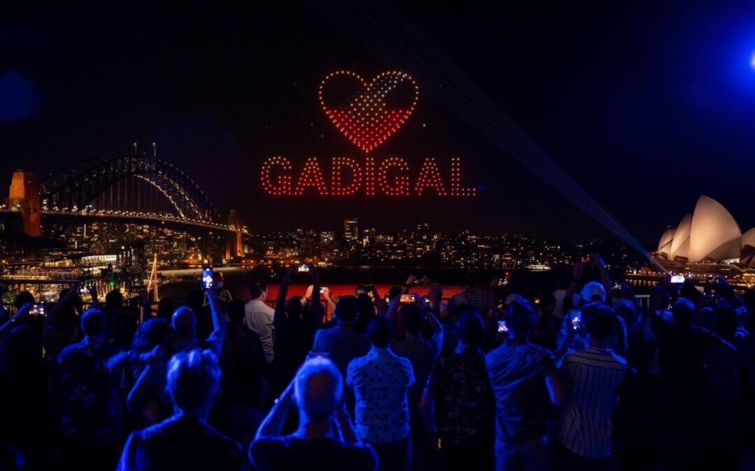
For anyone who has ever seen a Drone Light Show up close will understand what I mean when I say they’re mesmerising. Nothing can describe the sensory overload one experiences when a Drone Light Show is done well to connect the audience with the story. I can say I have experienced this first hand when I was involved in Elevate Sydney’s SKYSHOW in January 2022. But more about that later. What I want to talk to you about is “HOW” a Drone Light Show is possible.
I’ve been asked many times following Elevate Sydney, “How did you get 500 pilots to do that”? Well, the answer is simple, I didn’t. You see these light drones have been pre-programmed by some smart technology that is uploaded prior to the drones taking off. That means they all know where they need to be, what colour they need to be, when they need to be there, and how they are getting there well before take-off, and this is all enabled by drone show software and some very creative people.
Drone show software allows you to create the choreography for drone show preparation and execution. The type of software varies between the different Drone Light Show providers, where some have created their own private software with internal engineers, while others utilise commercially available software. Either way they all essentially do the same thing, which is to enable 2D and 3D animations to be cast into the sky to enable someone’s story to come to life. The software uses algorithms to determine the most effective flight path for the light drones to take without colliding with each other.
The software is supported by other subsystems of decision-making hardware such as real-time kinematic (RTK) global positioning system (GPS), wireless communication, the drone platform itself and through some type of ground control station (GCS). Some systems are better than others by how close they can get the drones to each other and therefore creating more dense images and sharper lines. The heavier the drone is will generally determines its size, the bigger the drone the more wash it creates in the air and prevents them from getting close to one another. Its kind of like a TV with 720p doesn’t look anywhere near as good as a TV with 1080p. The closer the light drone can get and the more concentration of numbers is one factor in the quality of images being seen.
But all the hard work is done before the show, through the creative team’s animator, who designs the flight plan to determine what the image will look like and how the story transitions from one image to another. The choreography is played in a series of tests which can be viewed in a simulated setting to ensure the drones do not collide before they are flown in real time. It is also during this phase that the client may be invited to view the show in the simulation to ensure it meets their needs. The amount of investment in the creative can also make the difference between one light show and another.
Once the show passes the simulation tests its time to rehearse the show in real time. The same software used to set the flight paths is set up with geofences. A geofence is essentially an electronic boundary that keeps the drones safe inside a flight operations box and generally has two layers, an inner fence and an outer fence. Most Drone Show Software systems have automated procedures built into them should a light drone loose connection with the GCS and “fly away” into one of these fences. Depending on the system being used, most will either send the light drone back to the launch area or cut its engine in flight and drop it safely to the ground. Therefore, it is critical in planning a show to have an area large enough to hold the show as well as have additional buffers to keep them safe from people, infrastructure by allowing for these buffers. It is also important to note that different country’s aviation safety authority will have different legislation to how big these safety distances are and should always be risk mitigated to as low as reasonably possible (ALARP).
So as you can see with a good laptop (GCS), some quality software and hardware a wifi router and RTK GPS ground station you have the beginnings of a drone light show. With some authorised pilots and a Remote Operators Certificate to work under, you are well on your way, in theory anyway. The key difference in executing a drone light show and a mind-blowing drone light show, comes from the hardware and software being used and the creative team behind the production. As they say “any monkey can fly a drone”, the real quality comes from what light drones are being used, the experience of the flight crew, the depth of creative, and then an awesome production team to put it all together with a quality bespoke soundtrack.
Check out the highlights of this year’s ELEVATE Skyshow.
Image: Destination NSW

Written by Sue Osborn (Head of Flight Operations – Mirragin Skyshows)
Sue has over 25 years experience across a variety of roles. Most recently, Sue was one of the most experienced and qualified members of the Australian Army’s premier unmanned system unit, 20 Regiment, Royal Australian Artillery. Sue has also deployed abroad, on multiple occasions to the Middle East, and then to New Zealand to assist with the development of their UAS defence capability.