Written by James Rennie – Australian UAV
What used to work on assumptions a decade ago is slowly getting replaced with stirring innovative technologies that are changing the face of agricultural operations today.
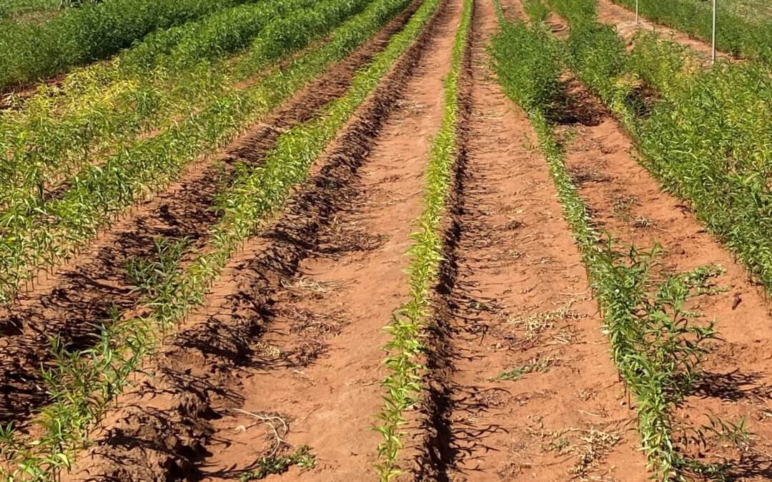
Given the benefits of drone farming such as lower overhead on irrigation, improved pesticide and fertilizer application, and increased yield rate; aerial mapping using multispectral imaging drones is expected to become as prevalent as the usage of tractors in agriculture industry.
What Are Agricultural or Farming Drones?
On a superficial level, agricultural drones are not very different from usual drones; but their application may change to suit the needs of the farmer. For example, the multispectral imaging camera sensors in farming drones use green, red, and near-infrared wavebands to capture both visible and invisible images of crops and vegetation.
Agricultural Benefits of Multispectral Drone Data
The drone images when fed into automated software give meaningful data that can be used for optimizing pesticide usage through early detection of pests, weeds, and other crop diseases.
Drone surveys can also detect nutrient deficiencies and refine soil fertilization needs. Other benefits include estimating crop yields, controlling crop irrigation, using a safer method for crop sprays, monitoring livestock, etc.
Precision Agriculture with Drones
Aerial surveys using drones can help with accurate detection and mapping of field data to improve crop yield. The remote sensing technology and multispectral imaging in farming drones pick up the radiations or light sensors from the ground and thus track the physical characteristics of the land.
Understanding Multispectral Imaging in Agriculture
Multispectral sensor technology allows the farmer to see the crop issues that are difficult to detect with naked eyes.
- The Basics
The varied surface of an object reflects or absorbs light in different ways and this can be recorded by multispectral imaging drones. The ratio of reflected light (the light that is thrown back by an object) to incident light (the light that falls on an object) is known as reflectance and is expressed in percentage.
- Vegetation Indices
Drone inspection can make analysing specific characteristics of vegetation like total leaf area or total water content easy. This is done through vegetation indices which are a combination of reflectance measurements in two or more wavelengths.
- Vegetation Spectrum
The spectral reflectance of vegetation varies according to the colour, structure, surface texture state (ex. moisture), and geometric circumstances (ex. incidence angle of sunlight). Thus, spectral reflectance curves can be used to identify the greenness of vegetation, soil health, and water clarity.
- Vegetation Curve
Healthy and green vegetation will show minimum reflectance in the visible portion of the electromagnetic spectrum due to the pigments in plant leaves. Whereas, stressed vegetation has a significantly lower reflectance in the infrared range.
- Soil Curve
Here, the reflectance curve is affected by soil texture, moisture content, presence of iron oxide and organic matter. For instance, the spectral reflectance curve of bare soil is considerably less variable.
- Water Curve
Water bodies, as well as plant features containing water, can be easily detected as they show a high absorption at near-infrared wavelengths range and beyond. For example, clear water has a lower reflectance in the visible region than turbid water.
Multispectral Vegetation Bands
There are six main vegetation bands. They are:
- Green
The green band responds to the reflected energy in the 500-600 nm range and is strongly correlated with the amount of chlorophyll in a plant. The greatest reflectance of a healthy plant will peak at 550 nm.
- Red
The red band responds to the reflected energy in the 600-700 nm range. A low reflectance in this band could be due to the strong chlorophyll absorption.
- Red Edge
This corresponds to the entry point of Near Infrared and lies in the range of 700-730 nm. The band is extremely sensitive to plant stress and can contribute to crop health analysis, plant counting, and water management.
- NIR (Near-Infrared)
The NIR corresponds to a 700 nm to 1.3 µm range of wavelengths. It correlates to the level of chlorophyll in plants whereas a significant variation shows signs of plant stress.
- Thermal Infrared
This corresponds to the wavelength of 3.0 and 20 micrometres and plays an important role in nursery monitoring, plant physiology analysis, irrigation scheduling, yield forecasting, etc.
- RGB (Red/Green/Blue)
This is visible light with wavelengths in the range of 400 to 700 nm. Drone inspections done with a good gimbal and camera can be used for elevation modelling, visual farm inspections, and plant counting.
How Do Multispectral Drones Improve the ROI in Agriculture?
Finding the optimum equipment to get the job done with minimum effort and cost can result in a favourable ROI.
For small plots of land, you may require only a multirotor DJI multispectral drone that picks up good resolution data and has precise take-off and landing capability.
Fixed-wing drones can cover a lot more area per flight, but the way they land can be a little unreliable. On soft land, you can use belly landing but if working on rugged terrain, you may run the risk of damaging the drone.
As the benefits of using multispectral imaging drones in agriculture become more apparent to the farmers, Global Market Insights reported that the agricultural drone market size will exceed $1 billion and 200,000 units are estimated to be shipped by 2024. Simultaneously, its contribution towards minimizing environmental impact through controlled usage of fertilizers, sprays, water is proving to be an important factor in innovative farming. Therefore, it is clear that the usage of drone technology in agriculture is here to stay.
Written by James Rennie – Australian UAV

Prior to starting Australian UAV (AUAV) James Rennie had a long career in natural resource management. In 2012 he identified a convergence of a previous hobby, radio controlled planes, and his passion for mapping data. Recognising this opportunity he established AUAV in early 2013, one of the first drone companies in Australia. With thousands of commercial flights completed, including in Antarctica, Armenia and throughout Australia, he manages the strategy and growth of the company.